Geospatial data can be used to analyze collected data geographically. For example, we can determine the location of trawling on project areas using VMS data or assess the importance of habitats for fish stocks with the precision allowed by available data.
- Trawler VMS inspections
- Spawning area surveys and syntheses
- Habitat modelling
Featured Project

Habitat Modelling for Trout and Salmon in the Fishway
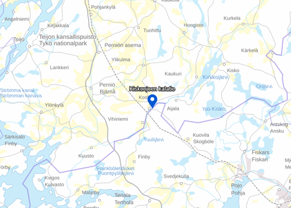
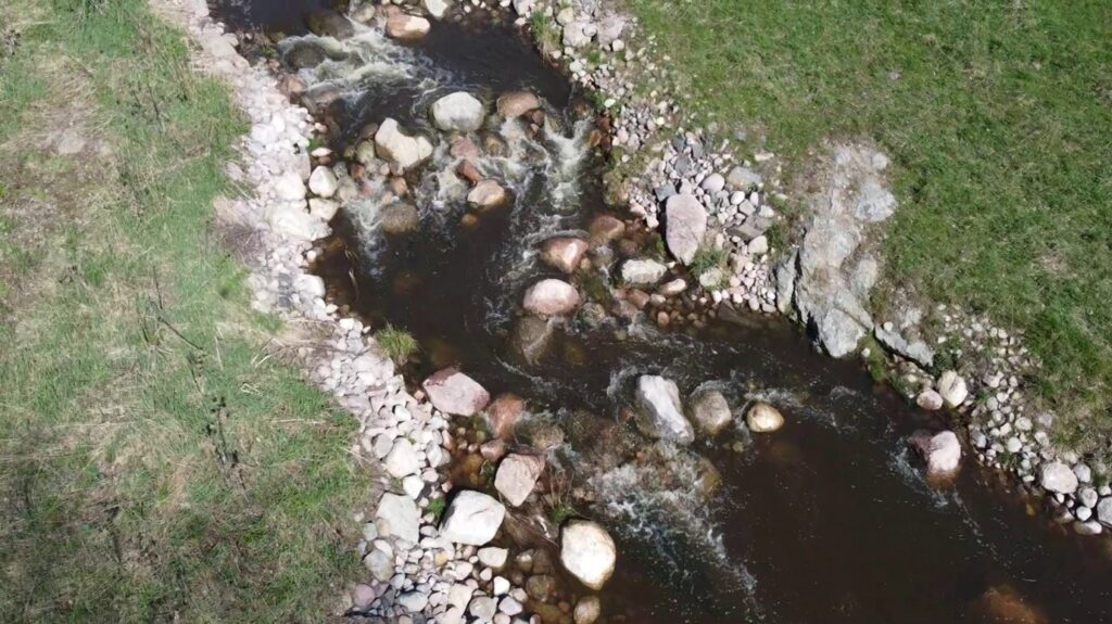
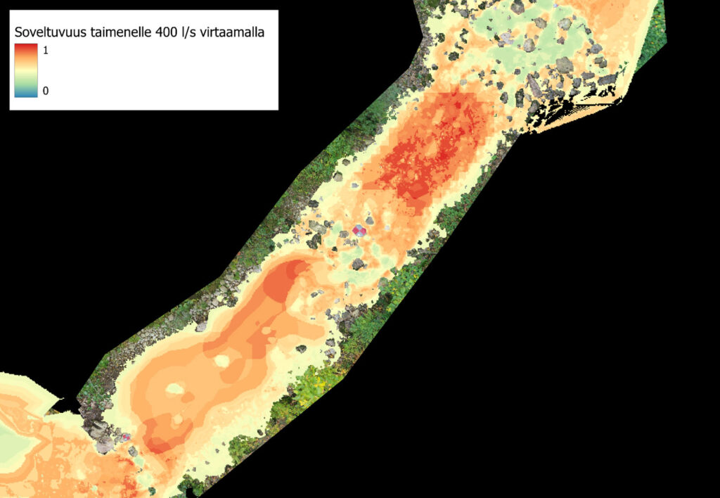
Fish and Water Research Ltd conducted a habitat modelling study for the natural fishway of the Koski power plant on the Kiskonjoki River, commissioned by the ELY Centre. The goal was to determine the amount and quality of suitable habitat for different life stages of trout and salmon in the fishway under various flow conditions. The modelling was based on data of the fishway’s bottom quality, depth, and flow velocity in different flow situations.
To estimate depth and flow velocity under different flow conditions, the partner Insinööritoimisto Jami Aho conducted field measurements in the channel and performed hydraulic modelling based on these measurements. To calculate the quality of the fish habitat, habitat preferences for different life stages of trout and salmon, determined by the Natural Resources Institute Finland for several rivers, were used. The end product was precise map layers showing the quality of the habitat in different areas of the fishway under various flow conditions, along with the weighted total amounts of these habitats. This allowed for the assessment of the flow conditions that would maximize the amount of suitable habitat for these species in different life stages.